
Looking through the window of an airplane, flying high above the land, lakes and rivers, gives such an incredible view of the world we live in, and also a glimpse into the past. From high above, we can see how the land was carved by ice sheets and glaciers hundreds of thousands of years ago. Of course, you'll see these landforms on the ground too, including eskers, which are found at the Lu Carbyn Nature Sanctuary.
The word “esker” comes from the Irish Gaelic word, "eiscir," which means "ridge.” Eskers are long raised ridges of sediment that were deposited by streams of melting water from slowly-retreating glaciers or ice sheets during ice retreat or stagnation. The drainage streams were formed on, in, and under the glaciers at the end of the last ice age, between 100,000 and 10,000 years ago. The streams and their eskers could have been a single channel or part of a system of tributaries.
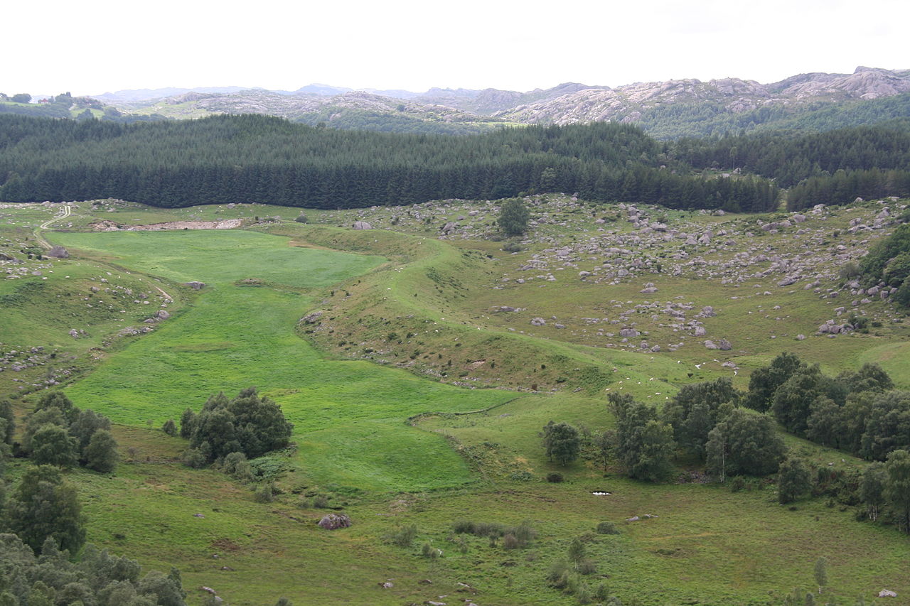
St. Olav's Serpent, Norway (source)
Channels or tunnels for the streams developed in parts of the glaciers which were weaker due to melting. The ice walls acted like moulds that shaped and directed the flow of water and sediment, usually in the direction of the glacial flows, or into the lowest possible points, like valleys. If the streams were in enclosed tunnels and the overlying ice provided enough pressure relative to the water pressure, the water flowed uphill. The sediment consisted of silts, sands, clays, gravels, or boulders that were usually deposited close to their original location, and remained after the glaciers had retreated or receded.

Esker formation (source)
Eskers come in many shapes. Their ridges may be narrow or broad, flat-topped or uneven, or single- or multiple-crested. They’re usually curvy, but can be straight. They’re usually short and discontinuous, but can be long and continuous. The ones that are discontinuous or segmented like a string of beads are formed when sediment is deposited sporadically due to the glacier’s inconsistent speed.
Eskers vary just as much in size. Lengths can range from 160 m to hundreds of kilometers, widths range from a few meters to 500 m, and their height is generally 5 to 50 meters. The Thelon esker system is about 800 km long, and marks the boundary between the North West Territories and Nunavut.
Like Scandinavia, Britain, and the northern U.S., Canada is a glaciated and formerly-glaciated region where eskers are found. These are some examples of the important role they play in the northern Canadian ecosystem:
the Inuit people and wildlife have been using these dry and elevated landforms as travel routes for centuries, especially to cross lakes or bogs
pilots of small planes recogise eskers as important visual orientation land forms
bears and migrating waterfowl feed on bear root and cranberries, a couple of the plants that grow on eskers
a wide variety of animals like grizzly bears, foxes, wolves, and ground squirrels burrow into the eskers in long, cold winters, and
buried eskers are good sources of clean drinking water because their sediments are clean and they trap rain and melted snow.
Recently, diamonds have been found in eskers by tracing the “indicator minerals” (like kimberlite) that contain them, which have been transported on a known path by melting glacial streams. Eskers have also been excavated for their pure, highly-porous sands and gravels, that are ideal for construction, or they have had roads built on their dry, elevated terrain. Because they were frequently used for easy and inexpensive construction materials in highly populated areas, they are now an endangered geomorphological feature. But few have yet to be protected.
By: Mary Poon, EALT volunteer
